
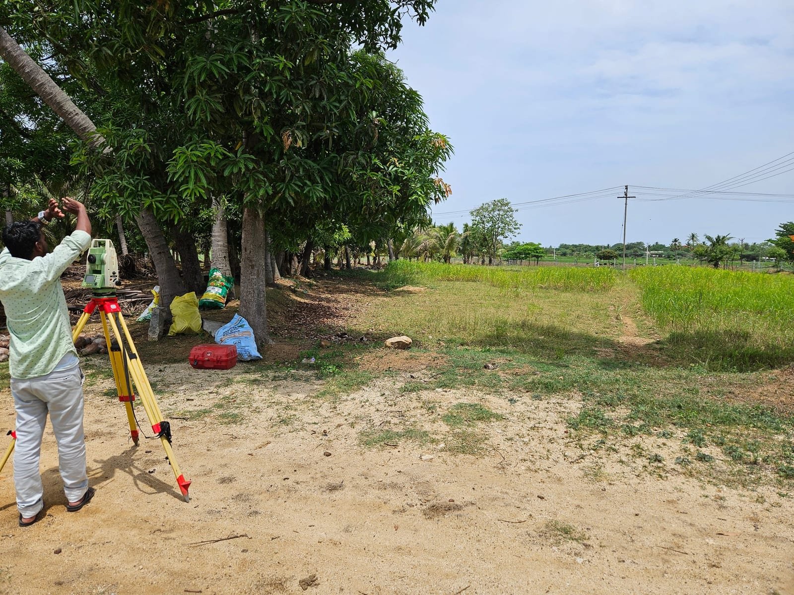
Before any earth was moved on the EC Farm site, our team ran a full topographic survey to establish accurate boundary lines, elevation contours, and drainage patterns across the plot.
This layout phase set the reference grid that every later phase — clearance, levelling, and construction — was measured against, catching a boundary discrepancy early that would have been far more expensive to correct mid-build.
Survey markers and layout stakes were left in place through the following phases so the site team always had a fixed reference to build to.
CategoryEC Farm Civil
LocationTamil Nadu
ClientEC Farm
Duration3 weeks
Year2024
Scope
Enquire about this projectTopographic surveyBoundary markingSite layout planning